| Travelling the Natchez Trace |
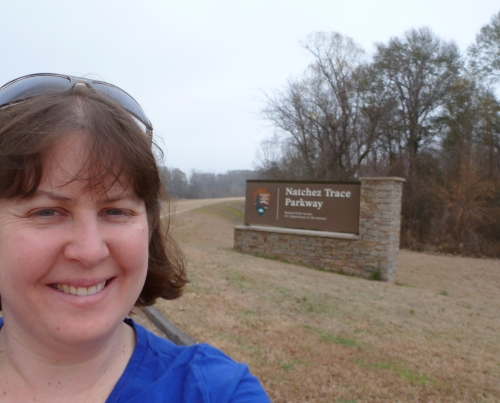 | I've always been intrigued by the Natchez Trace Parkway from all those years of travelling through Nashville.
I actually got to travel along some of it this year!
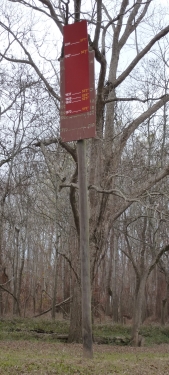
This is the starting/terminus sign just outside of Natchez, Mississippi. |
| One of my first stops on the Natchez Trace was this: a part of the original trace (left). The modern trace is on the right. So amazing to think of all the people that walked this historic path from Natchez to Nashville! | 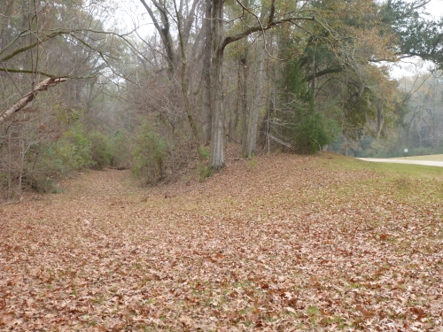 |
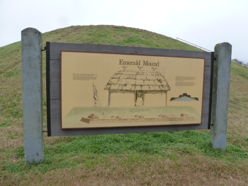 | My second stop along the Natchez Trace was Emerald Mound, a Native American site. You can walk to the top! |
My third stop along the Natchez Trace was at this loess bluff. (Science in action!)
As I drove around from Natchez to Vicksburg, I was able to see more loess deposits. | 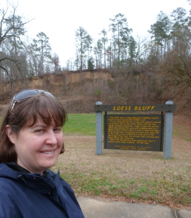 |
 |  |
My favorite stop along the Natchez Trace Parkway was Mount
Locust, a historic home/inn, the only historic inn still along the
trace. There was a volunteer ranger/docent there who gave me a
personal tour! The building is furnished to look like the period.
So cool! I did not realize until this stop that men floated
down the Mississippi with goods and then walked back up the Natchez
Trace to get home. There were eventually inns along the trace for
them to stay in (as travel increased), but to start, the men either
slept outdoors or just stayed in homes along the way.
The left photo is the front of the home, and the right photo is the back of the home. |
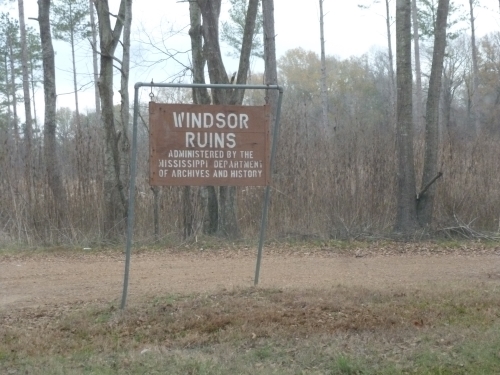 | 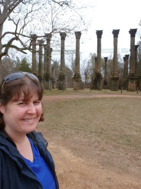 |
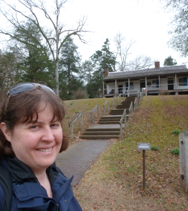
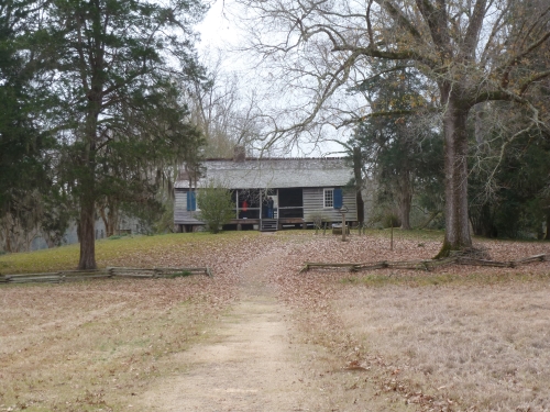
I got off the Natchez Trace after North Fork Coles Creek to see the Windsor Ruins, the evocative remains of an antebellum home.
(It was a little bit like an American Paestum!) |
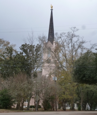 |  |
After the Windsor Ruins, I returned to Port Gibson to get some lunch (my first visit to a Sonic!).
My favorite site in the town was its First Presbyterian Chuch with its unusual steeple, a gold hand poiting to heaven! |
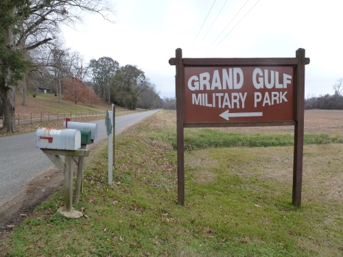 | 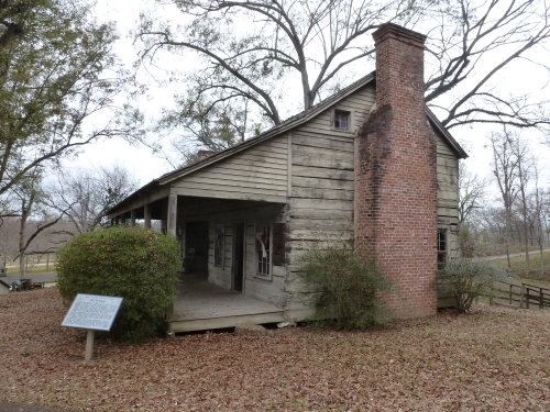 |
| From Port Gibson, I made a side-trip to the Grand Gulf Military Park. | Grand Gulf has a museum and some historic buildings, including this one (the Dog Trot house) that you can go upstairs in! |
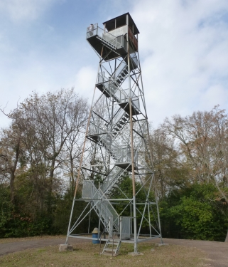 |  |
| One of the features of a visit to Grand Gulf is a walk up its observation tower! | Yes, that's the Mississippi River in the distance!
(The observation tower's view had a little Bastei Bridge feel to it!) |
 | 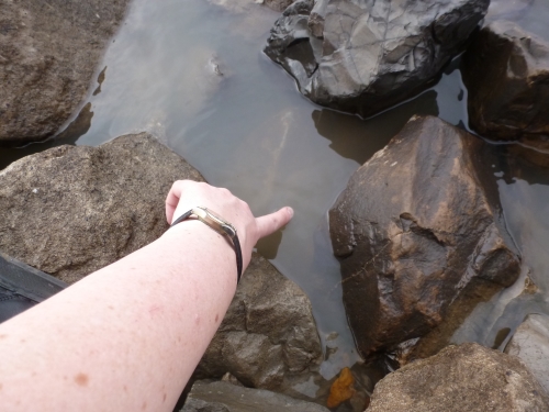 |
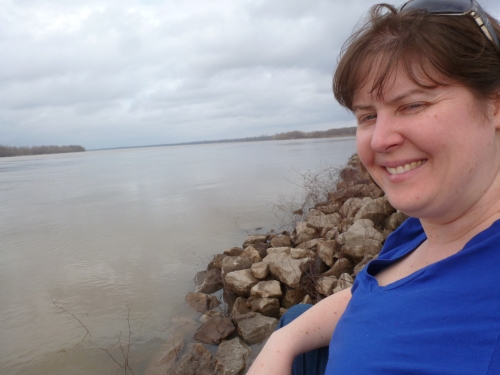
| Grand Gulf also has a road you can take to access the Mississippi River. On the way there, I drove by this flood marker. The water was 57'1" high in 2011! | Just for my sister and brother, I had to touch the Mississippi River!
(It's a family tradition.) |
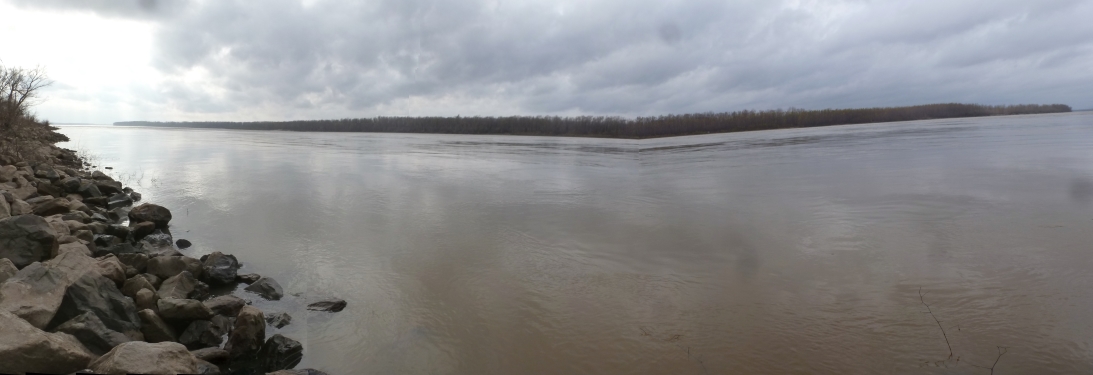 |
| OK, it's not perfect, but it's a pretty good panorama of my view of the Mississippi from Grand Gulf's river access. |
 | One more gratuitous Mississippi River view photo! |
My
last stop along the Natchez Trace was the Sunken Trace, a section of
the original trace that has "sunken" because it went over a section of
loess!
(I guess it is more impressive when it is not filled with leaves.) | 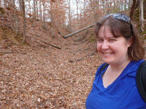 |
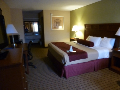 | I drove north and decided to stay at the Best Western Vicksburg Inn ($81, including tax, wifi, and breakfast). |
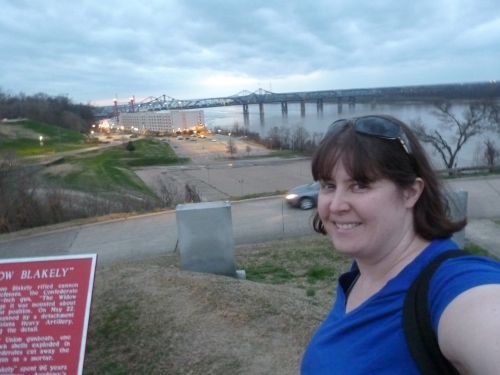 |  |
| It was still early when I got to Vicksburg, so I drove to the national military park,
watched their introductory movie, drove through the downtown, and drove
along the river. There are three historic turnouts (Louisiana
Circle, South Fort, and Navy Circle)
along the river, and I was able to visit them just before dark.
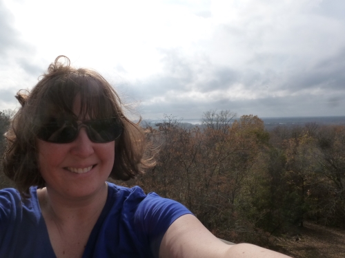
Here I am at Louisiana Circle. That's one of the riverfront
casinos in the background, along with the Mississippi River and bridge
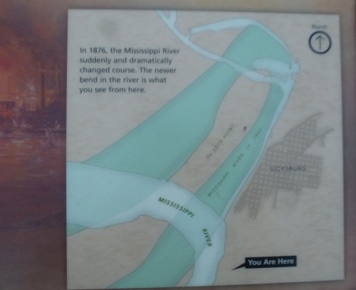
to Louisiana. | I love travelling to
historic sites. So often, very little of the structures are left,
but at least the location is the same. Over and over on this
trip, I found that even the location has changed, since the Mississippi
has changed course so drastically in the last 150 years. At Louisiana Circle, they had a wonderful sign to show how much the river's course has changed over the years.
(This isn't unusual in history. Pompeii was a port, and now it is far from the sea!) |