Cumberland Gap National Park
July 27, 2015
On my way to ChemEd 2015 in Kennesaw, Georgia, I stopped at Cumberland Gap National Historic Park. I had tried to visit in summer 2011, but the town was flooded. I made it this time!


|
Cumberland Gap National Park July 27, 2015
On my way to ChemEd 2015 in Kennesaw, Georgia, I stopped at Cumberland Gap National Historic Park. I had tried to visit in summer 2011, but the town was flooded. I made it this time!
| |
|
|
|
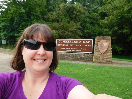
| I got there just after 11 am. I always have to get a picture with me and the national park sign! | I started by visiting the visitor center to watch an orientation film, get a map, and get a hiking recommendation. The butterflies outside the visitor center were spectacular! |
|
|
|
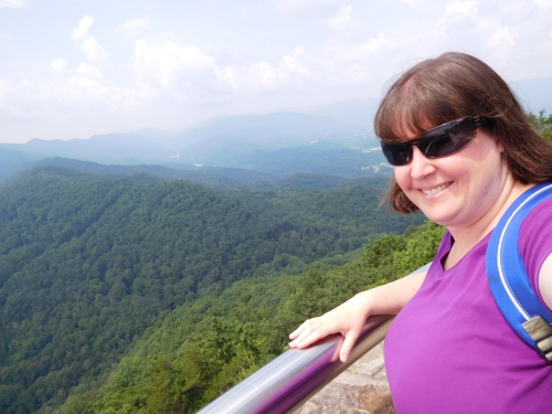
| After the visitor center, I drove the extreme curves and switchbacks up to Pinnacle Overlook. | Here I am overlooking Cumberland Gap! From this amazing overlook, you could see three states (Kentucky, Virginia, and Tennessee). WOW! |
|
|
|
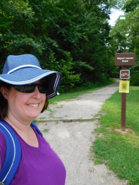
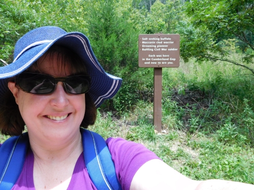
| I took the brief side-trail to visit Fort Lyon, the remains of a Civil War earthworks. From the informational sign, I learned that the soldiers cut down all the trees on this hillside so they could see if any enemies were approaching! It was hard to imagine that all these trees have re-grown! | Next, I drove back down, found the trailhead, slathered myself with sunscreen, and set off on Object Lesson Road to walk in the actual Cumberland Gap. |
|
|
|
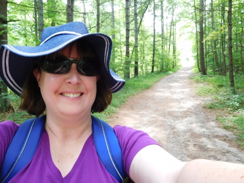
| The first part of the trail was deceptively easy, then it was all uphill! | Headed in the right direction! |
|
|
|
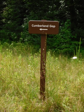
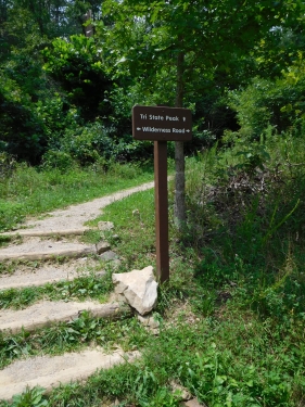
| Here I am in the Cumberland Gap! It looks so natural and historic, but I have since learned this was, until not very long ago, US 25E (a highway)! The highway has been re-routed through a tunnel, and the roadbed was torn up and seeded with trees. Click here to link to a site about the re-routing. | From Cumberland Gap, I decided to hike up to Tri-State Peak, where the three states meet. |
|
|
|
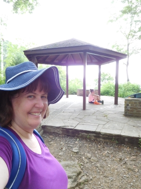
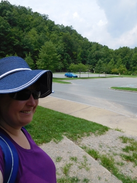
| Half an hour of uphill hiking later, I arrived at Tri-State Peak, the point where Tennessee, Kentucky, and Virginia meet (under the shelter). | Half an hour later (just after 2 pm), I made it back to my car. I was the only car in the lot! |
| So I had a really great time and made the best of my three hours in Cumberland Gap. So fun! | |